Peak District from Sheffield: Stanage, Lady Canning’s Plantation and Blacka Moor

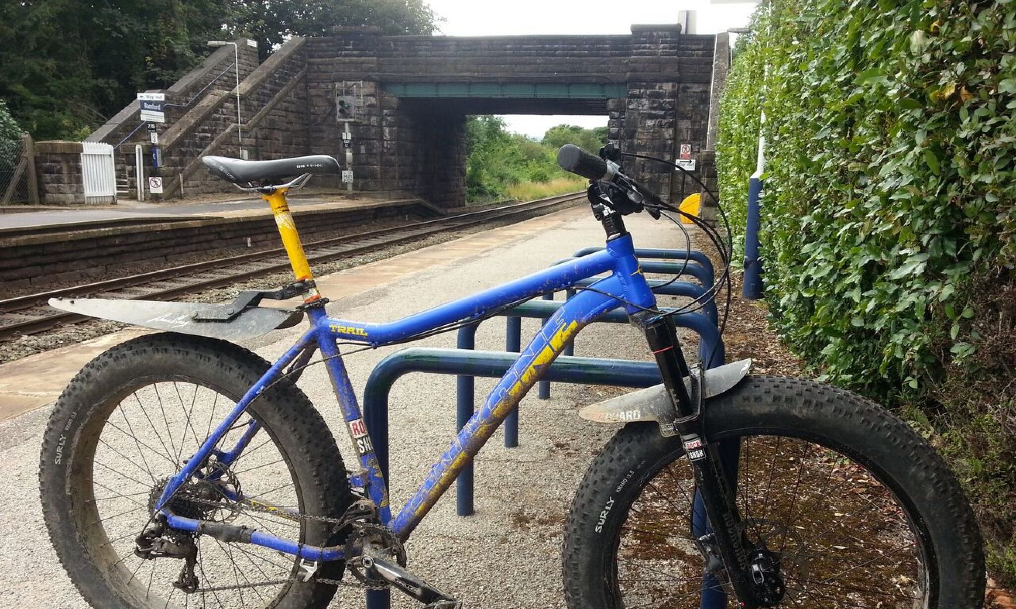
  • Nearest station: Hathersage (but I prefer riding from Sheffield, rather than changing trains)
  • Guidebook: Peak District Mountain Biking (Jon Barton) : Route 20 covers most of it
  • Trails: Natural, rocky, some technical, plus purpose-built bike trail at Lady Canning’s
  • Other attractions: Views

The Peak District is renowned as one of the country’s top mountain biking areas, and its decent rail links make it nicely accessible to those taking the car-free approach. When visiting by train, Sheffield makes a good starting point (you can change trains to get further into the Peaks, but I generally ride out from Sheffield for the routes described here).

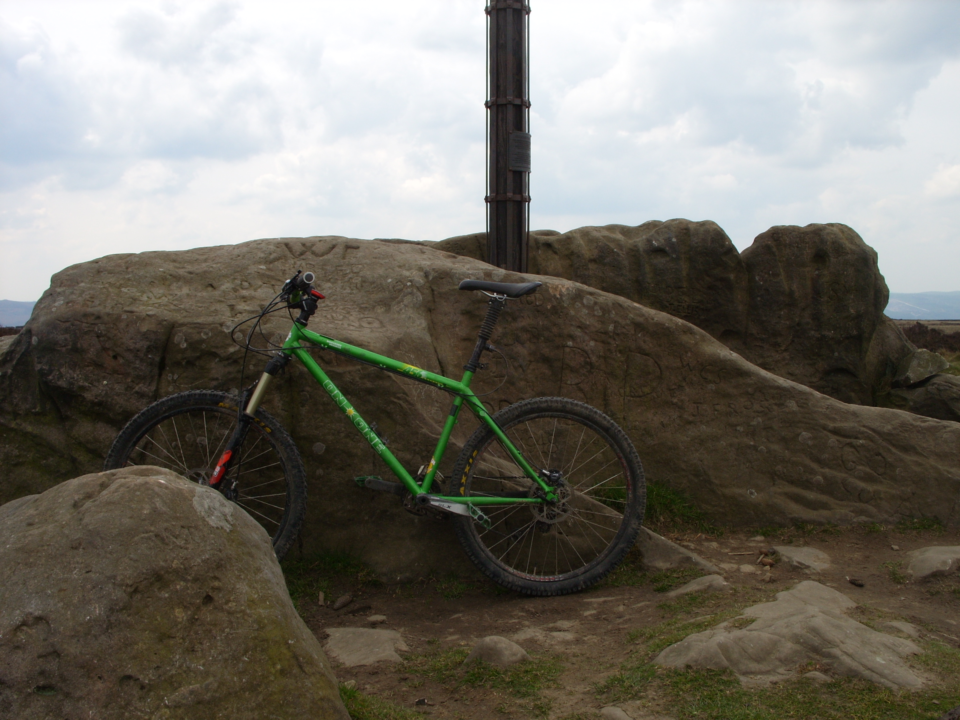
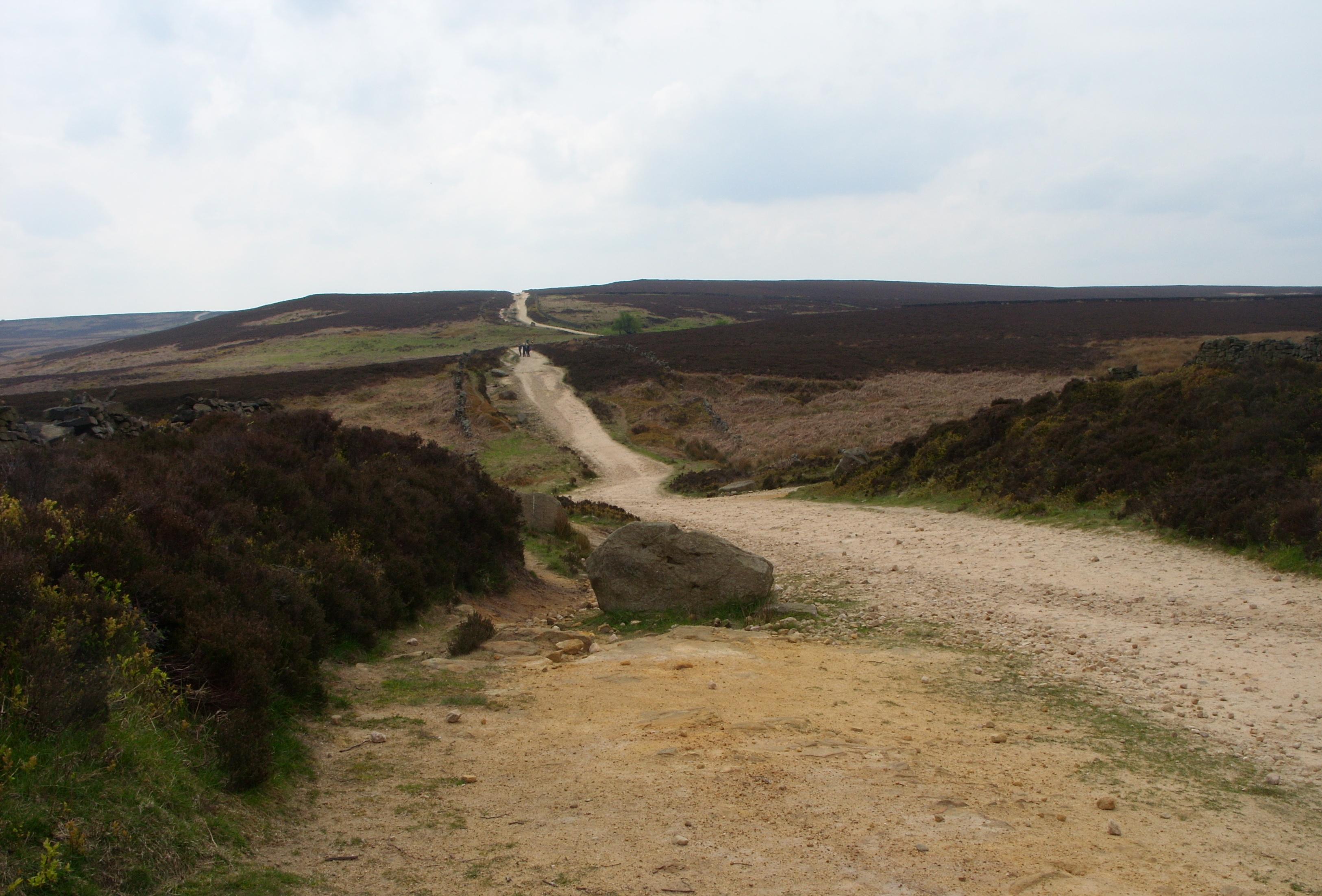
After a leisurely ride out through park land alongside Porter Brook, followed by a sharp climb up a gravel road known locally as “The Bastard” (Confession: I’ve always ended up pushing here), country roads lead past the three reservoirs at Redmires, before a wide bridleway called the Long Causeway leads up towards Stanedge Pole (which is near Stanage Plantation; why the inconsistent spelling?). I’m pleased to report that there is, once again, an actual pole here (the old one having been removed in 2015 due to decay):

Stanage Plantation

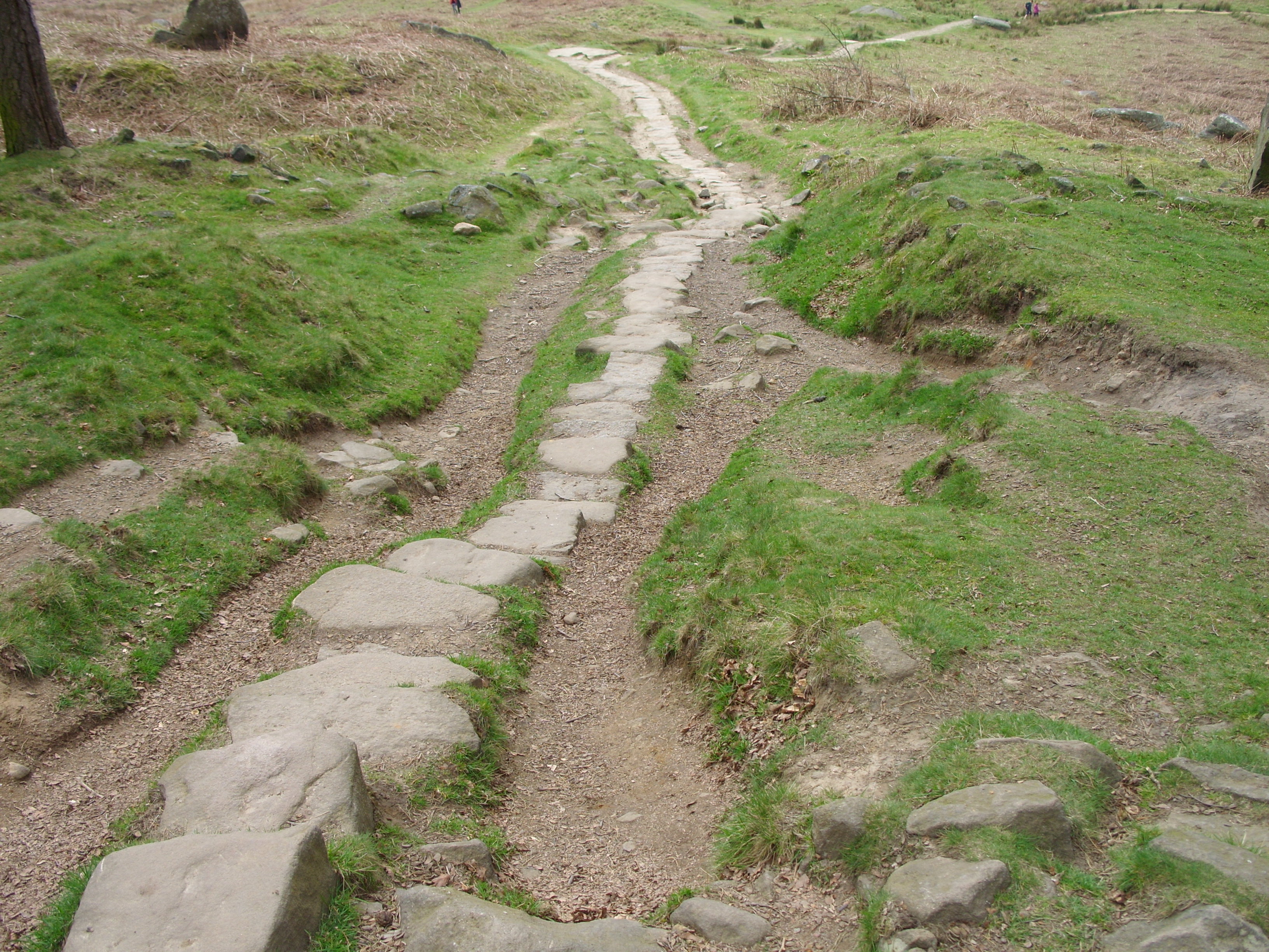
Before riding this trail, ask yourself one question: “Do I like rocks?”. If the answer is no, you’ll want to skip this bit, as the Stanage Plantation route is all about the rocks. One the way up, the Long Causeway has a trail of stone slabs along much of its length; it may be worth using this for practice.

The Plantation route starts with a few good-sized rock steps, leading down to a hairpin at the edge of the cliff, followed by a steep stone causeway along the cliff, descending into the plantation. Look out for other trail users on this bit, and on the trail as a whole; Stanage is popular with walkers and rock climbers as well as mountain bikers, and can get pretty crowded.

Lower down, after a tricky stream crossing, the trail widens a little. This gives a smoother, easier alternative route down the side of the stones, but if you’ve got this far without incident, you don’t need that.

If you don’t fancy all the rocky stuff, there’s an alternative route, known as Stanage Causeway, which takes a longer, gentler path around the cliffs. This used to be a popular option, described in the guidebook (Barton, 2010) as “wide and loose over rubble”. However, between then and now, this trail has been “improved” (or ruined, depending on your perspective), and isn’t much of a challenge any more (there are still some nice drainage bars to hop, but it doesn’t compare to the Plantation). Of course, if you want to session the Plantation descent, the Causeway makes a handy way back up.

Lady Canning’s Plantation

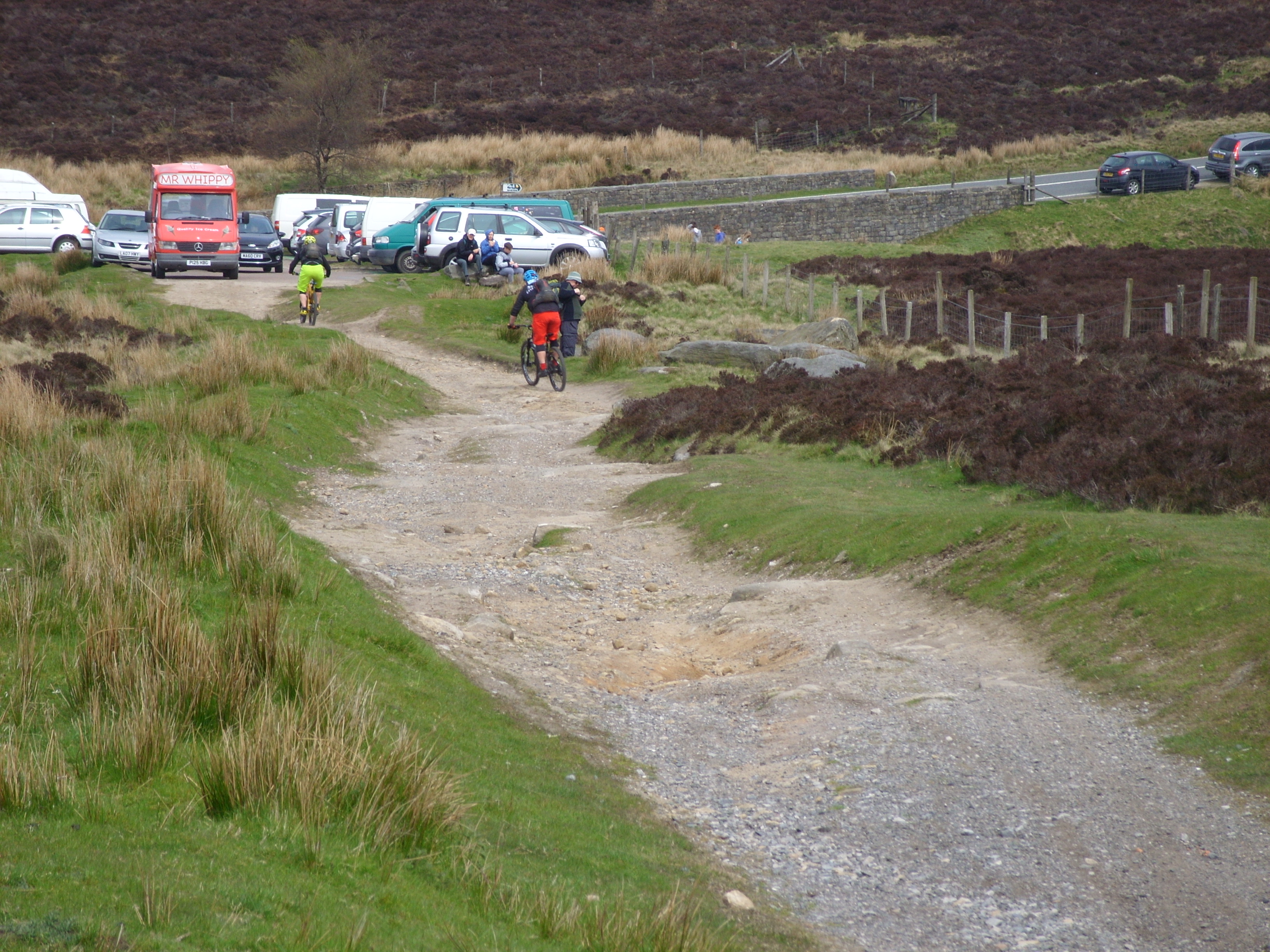
The ride from Stanage to Lady Canning’s is a long, slow road grind, punctuated by a nice rocky descent that cuts a corner off the road near a small car park. This is too short to be worth the ride on its own, but it’s a good diversion if you’re heading that way already:

Lady Canning’s Plantation is the site of a recent, and ongoing, trail development (more information here). Unlike most of the other trails nearby, this is purpose-built for mountain biking, so you shouldn’t run into walkers or horses there. So far, there’s a 1.4Km blue-graded route, which has already proved popular.

The smooth trails of Lady Canning’s, with their rollers, berms, jumps and relative lack of rocks, have a completely different feel to the surrounding paths; it’s as if part of a forest trail centre has been transplanted into the Peak District. They’re well worth a ride, for anyone who isn’t a natural-trail purist.

Houndkirk Moor

Adjoining Lady Canning’s Plantation, Houndkirk Moor is traversed by an ancient, rocky byway (not a bridleway; look out for motorcycles and 4x4s here). While it’s neither particularly technical nor especially fast-flowing, this can still be a fun ride, and a good way to get closer to the descents of Blacka Moor.

Blacka Moor

There are two main descents on Blacka Moor.  The only one I’ve ridden so far is called “Devil’s Elbow”. Yes, seriously:

It’s a rooty descent, steep in places, and is faster and less technical than Stanage. I tend to leave Blacka Moor until last, as it’s well-placed for the return trip to Sheffield.

In Summary

All in all, this route is well worth trying out, especially if Sheffield is handy for you. Of course, there’s far more to the Peak District than I’ve covered here. Just a little further West, you have the Ladybower area, accessible by a fairly short train journey to Hope or Bamford, and there’s far more on top of that, for all ages, tastes and skill levels. As usual, I find the Vertebrate Publications guidebooks to be a great starting point (no, I’m not being paid to say that!).

Explore, have fun, and maybe I’ll see you on the trails!

Local riding: Rawcliffe, York

  • Nearest station: York
  • Guidebook: N/A
  • Trails: Purpose-built pump tracks and skills lines
  • Other attractions: York, if you’re into old buildings. Occasional wildlife (squirrels, birds and the odd fox)


York: It has a Minster, some very old walls, two decent universities, a Viking centre that smells of pig crap (deliberately), and a lot of geese. It’s been my home for long enough that I feel kind of old thinking about it.

I didn’t come here for the biking. That’s not to say that York’s badly-placed for it; the Dales, North York Moors and Peaks aren’t that far away, and there’s good riding to be had just a little further west. York itself, though, is flat, as are its surroundings, and aside from the odd dirt track and a few unofficial jump lines, it’s historically not had much to recommend it for mountain biking. Fortunately, that’s changing.

On the way upriver from York proper, the tarmac bike route (Sustrans Route 65) takes you past Rawcliffe Country Park. With a name like that, you might expect some sort of Capability Brown masterpiece, with topiary, ornamental carp ponds and maybe a contingent of peacocks; in fact, it consists of a field and some small woods near the Park & Ride (and unfortunately also near the sewage works). What it does have going for it is an ongoing bike trail development, two sections of which are already fully rideable, and good fun.

Phase 1

Phase 1, the original pump track at Rawcliffe, was built by contractors a few years ago. It consists of two loops, both made up mostly of rollers and designed to be ridden clockwise (the outer loop also has a small tabletop and an small optional rock step). The inner loop is meant to be more advanced, with bigger rollers and tighter corners, while the outer is ideal for learning how to pump (a skill that’s definitely worth learning if you don’t have it already; it’ll make your trail riding flow better and feel a lot smoother).

Phase 2

Phase 2 is the first volunteer-built section of the Rawcliffe development, and the only one fully completed at the time of writing (work on Phase 3 is under way). Along with a more varied, multi-line pump track, it also has a couple of skills lines (built with coaching in mind, but good fun to ride solo), and a row of tabletop jumps. Unlike Phase 1, this track was built mainly using hand tools, by a group of volunteers who are frankly some of the most awesome people alive, who you should definitely give free drinks and cake if you meet them (full disclosure: I may be one of them…).

Phase 3 (work in progress)

The third and (so far) final phase is still under construction, though it’s taking shape nicely. Rocks are the theme so far, with a nice steep feature known as “Mount Rawcliffe” and an “evil” rock garden. Another jump line is also planned. All in all, Phase 3 should be excellent when it’s ready; if you’d like to come along and help dig, the work’s coordinated via a Facebook group: https://www.facebook.com/groups/513974435317218

What’s it like to ride?

Pretty much like this. This video isn’t meant as a “how to” (I’m no expert), but it gives an impression of what the tracks are like:

Retrospective: Bardsey and Elmet

  • Nearest station: Garforth
  • Guidebook: West Yorkshire Mountain Biking (Benjamin Haworth) : Routes 22 & 23
  • Trails: Natural, easy
  • Other attractions: Wildlife (red kites)

I’ve done this route a couple of times, most recently last year. It’s a combination of a couple of rides taken from the guidebook (so I won’t show the exact route here). These are easy trails, most of which could be ridden on a cyclocross bike or a hybrid, though one singletrack section – Brandon Lane, near Wike – has a rocky descent that may come as a surprise in an otherwise non-technical ride. This being a retrospective, rather than an account of a recent ride, I wasn’t planning this article when I rode it, so I don’t have  a lot of photos.

From Garforth, a couple of kilometres of road riding takes you to the route proper, starting with an easy bridleway across a golf course (look out for stray balls). Another road section takes you to the A64 (busy at times), and towards the  northern (and more interesting) half of the ride. The welcome end of this main road section comes a little after the Red Bus Cafe, beside Saw Wood, which is a decent place for a break when it’s open.

Following the bridleway through Saw Wood, you end up in the village of Thorner. Between here and Brandon Lodge, keep an eye out for red kites. These once-rare birds are a regular site around here, and they can be seen pretty close-up if you’re lucky (but don’t crash; they’re carrion feeders…).

After Brandon Lane, with its short but entertaining rocky descent, more roads and farm tracks take you to Bardsey and on to Wothersome, which can be used as an alternative starting point for this ride if you’re coming from York or Tadcaster (riding from York makes it quite a long trip – 100Km if you add a few detours on the way back – and adds a lot of flat, steady road work). From there, muddy bridleways lead back to the main road, past Bramham Park and its woods.

From here, it’s fairly plain sailing to Aberford, then back to the start of the ride, via the manky tunnel in Parlington Woods (it’s worth having a light for this bit, whatever time of day it is). At least, that’s how it goes if your freehub hasn’t failed near Wothersome, as mind did last time – cue much pushing and rolling, along a direct route via Barwick rather than Aberford.

If the weather’s decent, this ride is a pleasure. It’s not a technical challenge, more of a nice day out, and you can ride it on pretty much anything with knobbly tyres.


Introduction

So, here it is. I’m planning to write a series of articles here, related, at least tangentially, to car-free mountain biking. I claim no expertise, but hope the articles will be of interest.

Why car-free?

Basically, because I don’t have, or want, a car. I’ve got a motorbike, which does have a bike rack, believe it or not (might post about that here some time, as an aside),  but I plan most of my rides around public transport, where practical.

Why mountain biking?

If you have to ask…

Why northern England?

It’s where I live, specifically York. There aren’t too many places to ride locally (though there are some; more on that later), but the transport links are decent.